 Geobru catalogue
Administrative Unit
Type of resources
Available actions
Topics
INSPIRE themes
Keywords
Contact for the resource
Provided by
Years
Formats
Representation types
Update frequencies
status
Scale
-

The BeSt Address - Brussels Region product is the authentic source of addresses in the Brussels Region, in accordance with the BeSt Address cooperation agreement between the Federal State and the Flemish Region, the Walloon region, and the Brussels Region. The dataset is freely downloadable for private individuals, as zipped files or via a WFS. However, the Brussels authorities referred to in article 2, 10° of the ordinance of 8 May 2014 on the creation of a regional service integrator must use FIDUS to download the dataset.
-
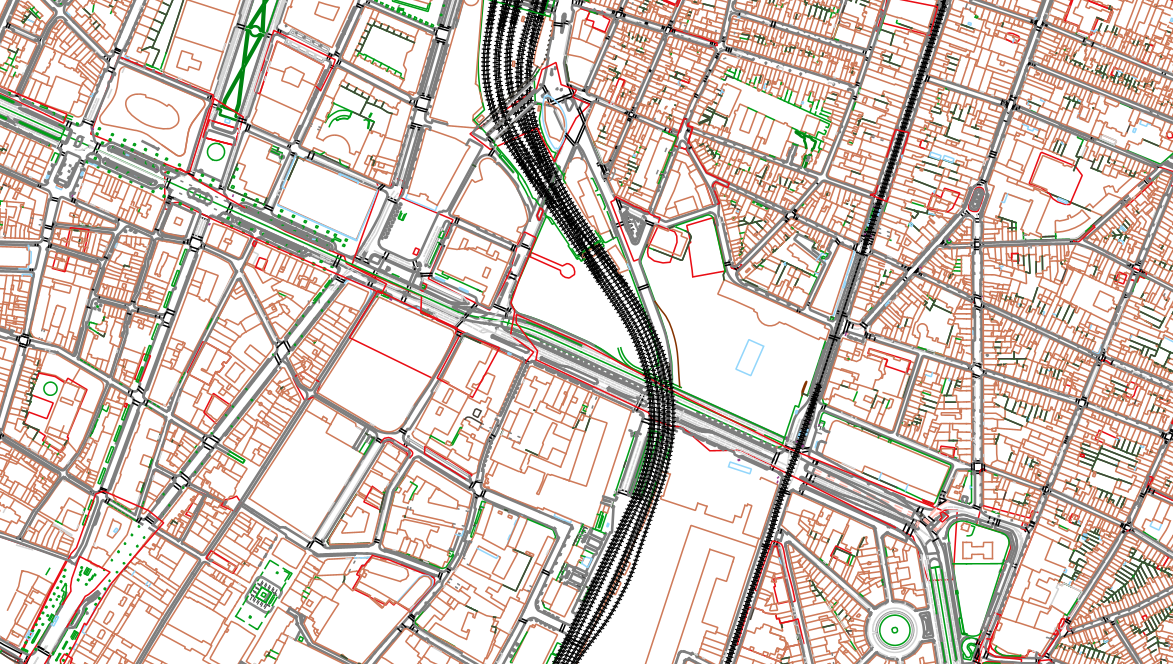
The UrbIS - Topo product is a catalogue of topographic geospatial vector data that contains geometric data, mainly lines, symbols and text. The product offers a digital representation of reality on a large scale through layers grouped by themes (e.g., buildings, roads, green spaces, etc.) and which can contain up to several tens of thousands of elements. The dataset is freely downloadable as a zipped file.
-
The UrbIS - Adresses product corresponds to the dataset of Brussels addresses that complies to Brussels technical specifications. This dataset is thus not compliant with BeSt specification and cannot be used by any federal or regional authorities that have to use BeSt compliant dataset. This dataset can be downloaded as a zipped file or with the ad hoc WFS.
-
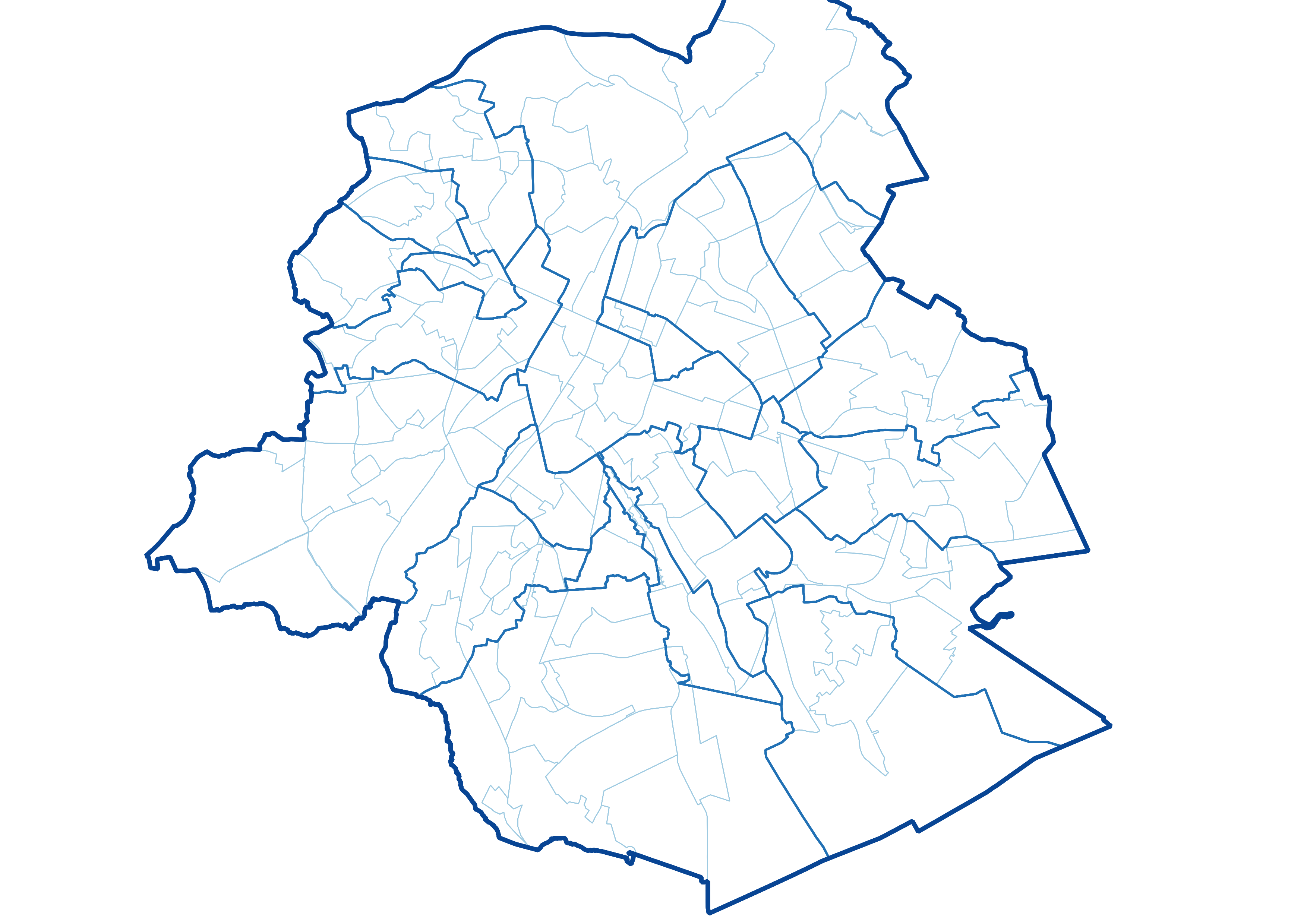
UrbIS - Administrative Units is the Brussels Region administrative, statistical and land register unit dataset. This dataset is made up of six different geometric classes. The first class is the territory of the Brussels Region. The second is the territory of the nineteen municipalities that make up the Region, the third is the six police zones in the Region, the fourth is the monitoring districts, the fifth is the statistical sectors, and the sixth is the land register parcels. The dataset is freely downloadable as a zipped shapefile. The dataset is produced by integrating data from FPS Finance and FPS Economy. Their respective licences apply to the classes deriving from them.